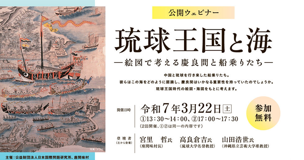


The Japan Institute of International Affairs (JIIA) and the Zamami Village co-hosted the workshop / open webinar "The Ryukyu Kingdom and the Sea: The Kerama Seafarers on Pictorial Diagrams."
JIIA conducts research and studies on Japan's territory and history and disseminates the results. As part of these efforts, in April 2022, JIIA organized the Ryukyu Islands Document Examination Committee, led by Dr. Kurayoshi Takara, Professor Emeritus of the University of the Ryukyus, as the project director. The committee aims to clarify how the Ryukyu people recognized the sea area comprising Tomari, the Kerama Islands, Kumejima Island, the Senkaku Islands, and Fujian, which were the main area of their activities. The research group has analyzed sea charts and pictorial diagrams from the Ryukyu Kingdom era, including the Tobin Koukaizu [Navigational Map between Naha and Fuzhou].
In the workshop / webinar, the results of the research analysis were broadcast online. In addition, replicas of pictorial diagrams, including the Tobin Koukaizu and explanatory panels were displayed at the venue. A lively discussion was held with local participants.
On the 23rd, an actual survey of the sea area along the navigation route shown in the old documents was conducted.
Speakers:
Dr. Kurayoshi Takara, Professor Emeritus of the University of the Ryukyus
Mr. Satoru Miyazato, Mayor of Zamami Village
Dr. Kosei Yamada, Associate Professor, Okinawa Prefectural University of Arts
Explanation of Exhibits:
Dr. Shinichi Aso, Professor, Ryukyu University
Dr. Satoru Kuroshima, Professor, University of Tokyo
Dr. Shuko Maeda, Associate Professor, Okinawa University
Mr. Masayuki Dana, Former Director of the Okinawa Prefectural Museum and Art Museum
Workshop Lecture Meeting: Saturday, March 22, 1) 13:30-14:00, 2) 17:00-17:30

Workshop Explanation of Exhibits: Saturday, March 22, 1) 14:00-15:00, 2) 17:30-18:30


Sea Area Survey: Sunday, March 23, 8:30-12:00
